The Prisoner Who Redrew the World
A Venetian prisoner’s tales of golden palaces and silk roads transformed the medieval map from a religious icon into a practical blueprint for global empire.
This story began with a question: “How did Marco Polo's book influence the maps of the Age of Discovery?”
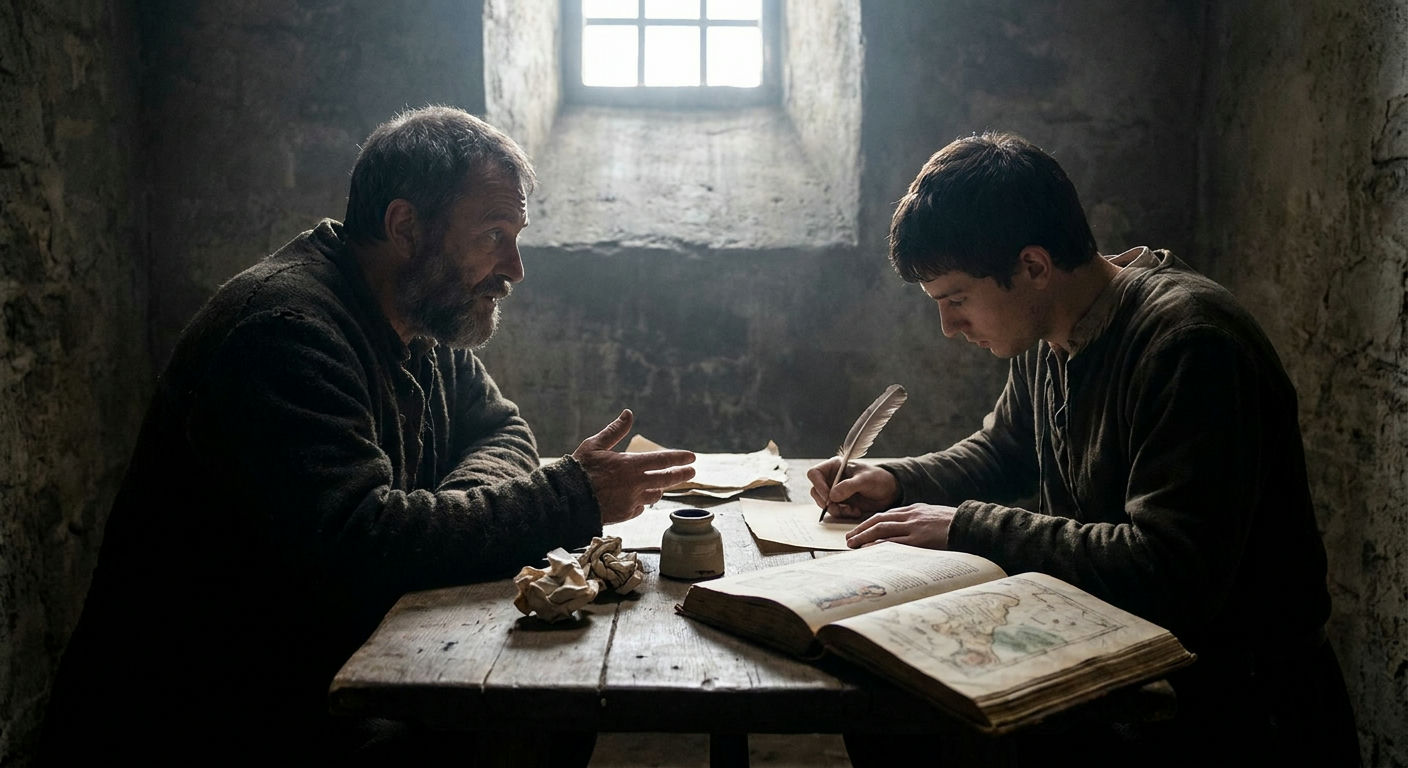
In the late 13th century, a Venetian merchant sat in a Genoese prison, dictating memories of a world that few in Europe believed existed. Marco Polo did not set out to draw a map; he set out to describe a market. Yet, his account, titled Il Milione, or The Travels of Marco Polo, became the most disruptive geographical document in history. Before his words reached the scriptoriums of Europe, the continent’s view of the world was often a mix of scripture and myth, with the edges of the map fading into "monsters" or the "Garden of Eden." Polo replaced these legends with a ledger of sixteen distinct kingdoms and cities of unimaginable wealth.
For the cartographers of the time, the book was a crisis of space. The standard Mappa Mundi, like the famous Hereford map, prioritized religious symbolism over physical distance. Polo’s account challenged this by providing specific travel times—days spent crossing the Gobi Desert or weeks sailing the South China Sea. He described a world that was far larger and more densely populated than the medieval mind had accounted for. By naming places like Cathay (Northern China) and Cipangu (Japan), he gave the empty spaces on the map a shape, a name, and a price tag.
The Catalan Atlas and the Silk Road
The first major cartographic shift occurred in 1375 with the creation of the Catalan Atlas. This masterpiece, attributed to the Jewish cartographer Abraham Cresques of Majorca, was one of the first to take Polo’s descriptions seriously. Unlike earlier maps, it attempted to place the cities of the East in their relative geographical positions based on the Venetian’s itineraries. The map famously depicts a king in West Africa holding a gold nugget, but its eastern half is a direct tribute to Polo’s journey.
Cresques populated the Asian continent with details plucked straight from the book, including the Great Khan sitting in his pavilion and the specific routes used by silk merchants. This map signaled the end of purely symbolic geography. It proved that Polo’s eyewitness testimony could be translated into a functional grid, providing a bridge between the medieval religious worldview and the practical needs of maritime trade. The Silk Road was no longer a vague direction; it was a series of waypoints that could be plotted. Yet, even as the map became more practical, it remained anchored to Polo’s specific, sometimes exaggerated, scale.
The Myth of Cipangu
Perhaps the most influential—and unintentionally misleading—contribution Polo made to cartography was his description of Cipangu, or Japan. Polo never actually visited the island, but he heard tales of its splendor at the court of Kublai Khan. He wrote that the island was located 1,500 miles east of the coast of China, a massive exaggeration that would change the course of history. He described a palace with a roof made of solid gold and floors two fingers thick with the precious metal.
This specific detail—the distance and the gold—haunted the minds of 15th-century explorers. When the German cartographer Henricus Martellus drew his world map in 1489, he placed Japan exactly where Polo suggested, far out into the Pacific. This created a geographical illusion: if the Asian continent stretched that far east, the ocean between Europe and Asia must be relatively narrow. This map, heavily influenced by Polo’s inflated distances, became the primary tool for a Genovese navigator named Christopher Columbus.
The Annotations of Christopher Columbus
We know exactly how Polo influenced the Age of Discovery because we have the physical evidence: Columbus’s personal copy of The Travels, which is still preserved today. Columbus was not looking for a new world; he was looking for the specific coordinates Polo had provided two centuries earlier. The margins are filled with over 70 handwritten notes in Latin, most of them focusing on the locations of gold, spices, and the distance between islands.
When Columbus finally sighted the islands of the Caribbean in 1492, he was convinced he had found the outer edges of Polo’s world. He spent his first weeks in the Bahamas searching for the "King of Japan" and sent envoys into the interior of Cuba, believing it was the mainland of Cathay. He even carried a letter from the Spanish monarchs addressed to the Great Khan, a ruler who had not existed for over a century by the time Columbus set sail. The map in Columbus's head was a Polo map, and it was this map that gave him the confidence to sail into the unknown.
The Lasting Legacy of a Ghost Geography
Even as the reality of the Americas began to set in, Polo’s influence remained visible on the maps of the 16th century. Cartographers like Martin Waldseemüller, who famously gave America its name, still used Polo’s nomenclature for the cities and regions of Asia. This created a strange "ghost geography," where Polo’s 13th-century names for the East co-existed on the same vellum as the newly discovered coastlines of the West. The Venetian’s descriptions of the Spice Islands and the wealth of Java and Sumatra drove the Portuguese and the Dutch to push further south and east long after the Americas were known to be a separate continent.
Polo’s book acted as a catalyst for the Ptolemaic revival, where ancient Greek geography was merged with modern medieval travelogues. By the time the world was fully circumnavigated, the "monsters" at the edge of the world had been replaced by the bustling ports of the East. The map had finally caught up to the merchant’s memories, turning a prisoner's stories into the blueprint for a global empire. The gold of Cipangu may have been a myth, but the map it created was the key that unlocked the modern world. Even today, the way we conceptualize the "Far East" traces back to the cell where a Venetian merchant once sat, reimagining the horizon.
This story travelled through
Where does this story take you next?
Every story opens a door somewhere else. Pick a thread and we'll tell you that story too.
Curious about something else?
Discover another exploration